|
Latest Seasonal Assessment -
During the previous thirty days, wet weather and cooler temperatures overspread the far north central United States and the central corn belt,
easing drought conditions but also causing planting delays and flooding along the Mississippi River basin. In contrast, dry, hot weather
exacerbated drought conditions in the southwestern quadrant of the Nation, promoting the development of numerous wildfires across the Four
Corners states and California. In the East, a series of storm systems including Tropical Storm Andrea brought significant rainfall to the
entire Atlantic seaboard, removing all remaining drought areas, though abnormal dryness was observed along the Ohio River Valley and central
Appalachians. During the upcoming three months, enhanced odds of below average precipitation are expected to promote further drought expansion
into the northwestern U.S., while drought persistence is likely across California and the northern intermountain West due to a dry summer
climatology. In the Southwest, the potential for a robust and early onset of monsoon wetness may bring drought relief to Arizona, western New
Mexico, and as far north as southern Utah and Nevada. In contrast, enhanced seasonal probabilities of abnormal dryness and warmth in western
Texas are expected to promote drought persistence and expansion. A wet summer climatology may aid in further east to west erosion of drought
across the Great Plains, but the prospects for relief are less certain along the High Plains, where extreme to exceptional drought has been
entrenched for months and soil moisture is very low. Suppressed dry season rainfall in Hawaii is expected to favor drought persistence and
possible expansion, while climatological summer precipitation in north central Alaska may improve existing drought conditions.
|
|
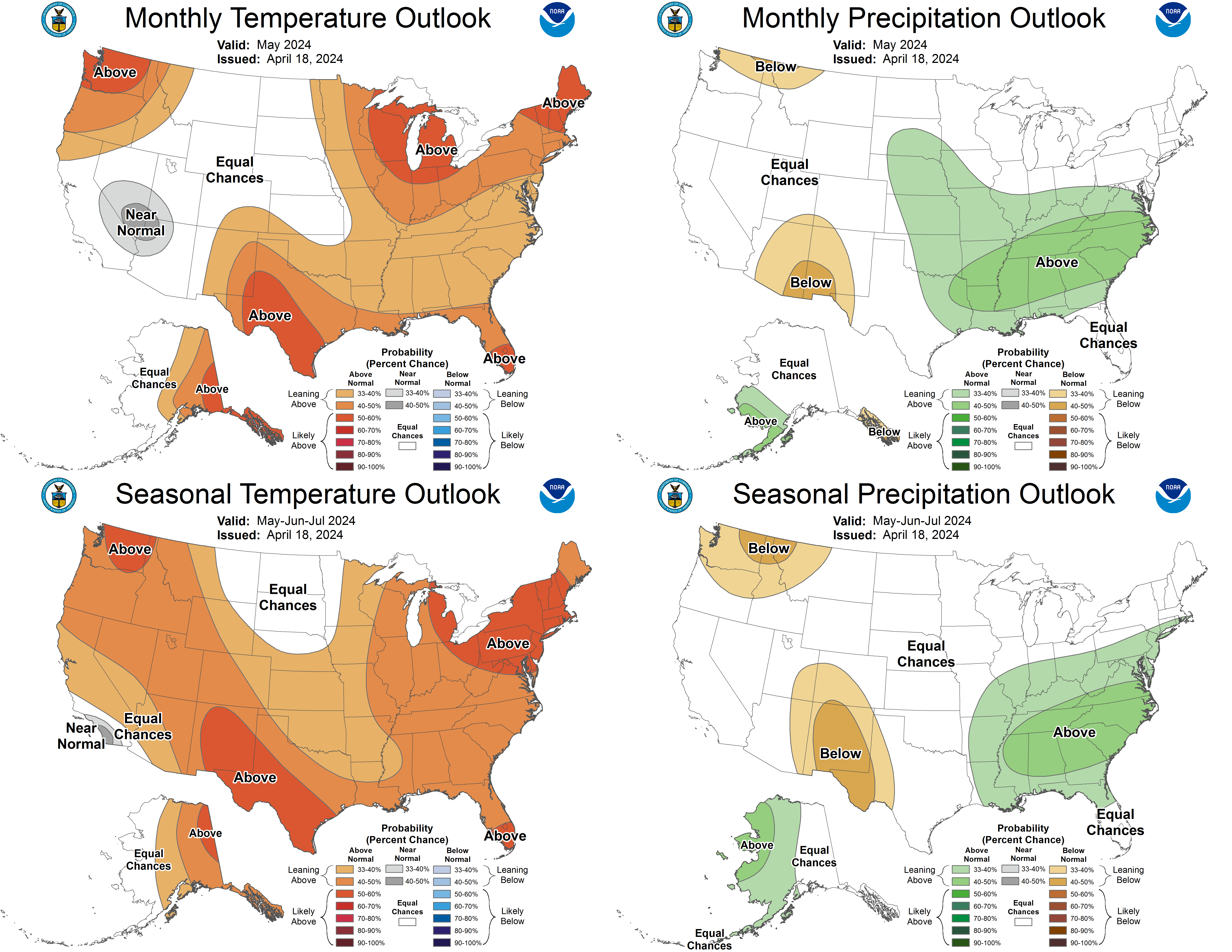
Tools used in the seasonal U.S. Drought Outlook (SDO) included the official CPC temperature and precipitation outlooks
for July 2013, the long lead forecast for July
to September 2013, various short- and medium-range forecasts and models such as the 6-10 day and
8-14 day forecasts, the NAEFS precipitation outlooks, the soil moisture tools based on the
Constructed Analog on Soil (CAS) moisture, dynamical models (CFSv2, NMME, and IMME), the 384-hour total precipitation forecasts from
several runs of the GFS, the four-month Palmer drought termination and amelioration probabilities, climatology, and initial conditions.
Although sea surface temperatures in the equatorial eastern Pacific have decreased slightly during late May and early June, we remain in
ENSO Neutral conditions.
Across the West, cool, wet weather in parts of Washington and Oregon contrasted with hot, dry weather throughout California. Drought
conditions have advanced northward into southern Oregon, which largely missed the recent precipitation, during the previous several
weeks. The July to September period is a climatologically dry time of year for the West Coast states, with the seasonal signal becoming
more pronounced in California. During the next 7 days, widepsread precipitation is expected to overspread the Northwest, but remain
generally north of the existing drought areas. The CPC July outlook tilts the odds towards below median precipitation for Washington, and
the seasonal forecast expands the enhanced probabilities of below median precipitation southward into Oregon and eastward into
Montana. Based on climatology and the long range outlooks, drought persistence is expected across the western U.S., and additional
northward development of drought is indicated for northern Oregon and southeastern Washington.
Forecast confidence for the west coast states is moderate to high.
During the previous 30 days, seasonable dryness and hot temperatures persisted across the southwestern U.S. As of June 19, numerous large
wildfires were burning across the Four Corners states. Monsoon moisture typically begins streaming into the Southwest during July. There
are several indications that the onset of monsoon moisture will be both early and robust. A coherent Madden Julian Oscillation pattern
has developed in the tropics, and the active convective phase of this feature is expected to propagate eastward, reaching the eastern
Pacific basin towards the beginning of July. Several models depict the possibility of tropical cyclogenesis in the eastern Pacific, and
northwestward moving tropical cyclones would promote a northward flow of Gulf of California moisture into the Southwest. Additionally,
week two guidance suggests the formation of a surface heat low near the border between California and Arizona, with high pressure situated
to the east across Colorado and New Mexico. These features would also promote the northward advection of moisture into Arizona. Enhanced
probabilities of above median precipitation are projected on the CPC week 2 and July monthly outlooks, with the highest probabilities in
Arizona. Based on these considerations, drought improvement or removal is indicated across Arizona, western New Mexico, southern Utah, and
southern Nevada. Persistence is maintained across eastern New Mexico and southern California.
Forecast confidence for the Southwest is low to moderate.
Abnormal dryness and heat were also observed across the west-central states during the previous 30 days, promoting drought persistence or
expansion. A wildfire near the Black Forest north of Colorado Springs killed 2, burned nearly 15,000 acres and destroyed over 500
homes. Mostly dry weather is expected during the upcoming week as wet weather remains along the northern tier of the U.S. to the north of
a ridge of high pressure. The CPC 8 to 14 day outlook indicates enhanced chances of above median precipitation for western Colorado,
southwestern Wyoming, and Utah as a surge of monsoon moisture is likely to promote thunderstorm development. To the east of the Rockies,
in contrast, abnormal dryness is more likely. The CPC monthly and seasonal outlooks both maintain equal chances of below, near, or
above-median precipitation across the north-central Rockies, with enhanced odds of above median temperatures. Based on those outlooks,
drought persistence is expected across the intermountain West outside of the core monsoon regions.
Forecast confidence for the intermountain West is moderate.
During the previous month, above average rainfall fell across the lower elevations of the Plains, including central Oklahoma, where severe
storms spawned several deadly tornadoes near Oklahoma City and El Reno. The rainfall eased drought conditions, and even caused planting
delays of corn and sorghum in the western Corn Belt. While thunderstorm activity over the southern and central high plains brought
localized heavy rainfall, the area generally received below average rainfall during the past 30 days. The summer months are
climatologically wet along the Plains, as Gulf moisture streaming northward collides with drier air to the west. Some showers and
thunderstorms are possible during the upcoming week, though the heaviest rainfall is expected across the northern Plains and upper
Mississippi Valley. The CPC 8 to 14 day outlook calls for enhanced chances of below median rainfall across the central Plains, while the
monthly and seasonal outlooks maintain equal chances for the central Plains, but tilts the odds towards below median rainfall for western
and central Texas. Based on the wet climatology, further east to west erosion of drought in the Plains is possible, but the extent of
improvements along the high Plains is less certain, as large areas of extreme to exceptional drought would require above average rains for
significant amelioration, and extremely low soil moisture levels will promote abnormal heat during the summer months. In western Texas,
drought expansion is likely between the Pecos and Rio Grande Rivers consistent with the dry seasonal outlook.
Forecast confidence for the central U.S. is moderate.
Small areas of moderate to severe drought remain in parts of Minnesota, which missed areas of heavier rainfall to the west over the
northern Plains and to the south over the central Corn Belt during the previous 30 days. An active weather pattern is expected to bring
widespread rainfall to Minnesota during the next 7 days, with amounts ranging between 1 and 3 inches. The CPC 8 to 14 day outlook has
enhanced chances of below median precipitation over southern Minnesota, however, there is little climate signal into the July to September
period. The July to September period is a climatologically wet time of year for the upper Midwest, so further improvements beyond weeks 1
and 2 are likely. Based on the short term forecast and climatology, drought removal is forecast for Minnesota.
Forecast confidence for the upper Midwest is moderate to high.
A series of storm systems, most notably the remnants of Tropical Storm Andrea, brought widespread flooding rains to the eastern
seaboard. In contrast, below average rainfall fell across the Ohio River Valley and central Appalachians. A very small area of moderate
drought persisted near the intersection of Pennsylvania, West Virginia, and Ohio. During the upcoming week, showers and thunderstorms are
expected along the central Appalachians, with forecasted accumulations generally under an inch. Enhanced chances of above-median rainfall
are predicted in the CPC 8 to 14 day outlook, and the July outlook tilts the odds towards wet weather across the southern
Appalachians. Based on the relative shallowness of the remaining drought area and the wet short term forecast, drought removal is expected.
Forecast confidence for the central Appalachians is moderate.
The summer months are climatologically dry across Hawaii, and the CPC seasonal outlook tilts the odds towards below median rainfall during
the July to September period. Based on this outlook and climatology, drought persistence is expected across the eastern islands, with
further drought development possible in areas that are already abnormally dry.
Forecast confidence for Hawaii is high.
Moderate drought remains in north central Alaska, where snow water equivalents were well below normal during the spring. The summer months
are the wettest time of year for north central Alaska. CPC's 8 to 14 day outlook calls for enhanced chances of below median precipitation
for western and central Alaska, but the monthly and seasonal outlooks both maintain equal chances of below, near, or above median
precipitation. Based on climatology, therefore, drought removal is forecast.
Forecast confidence for Alaska is moderate to high.
|


